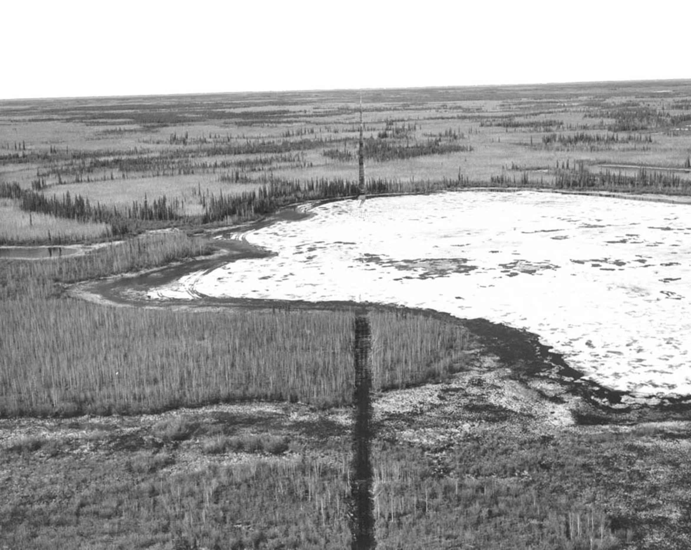
PIXNIO / Vintage photos / History photography / aerial, seismic, trail aerial, seismic, trail Info USFWS Free to use CC0 2346 × 1866 JPGZoom in Report Free download Original(2346 × 1866 JPG) Medium(684 × 544 JPG) Custom size width OR height DOWNLOAD Author:USFWSLicense:Free to use CC0Tags: chimney perspective JPEG 4.4 MP Black and white Album:History photographyImage colors:#f0f0f0 #808080 #606060 #a0a0a0 #404040 #e0e0e0 #c0c0c0 #202020Orientation: Square (cropped)Megapixels: 4.4 MPPIXNIOfree images: aircraft, world, war, flying, water aircraft, world, war, flying, sky aircraft, world, war, flying, mission agent, cross, float, plane, lake, Louise agent, bragg, beaver, pelts field work, bird, goose, release aerial, winter, village, Ambler, Alaska aerial, village, rampart, Yukon, river aerial, road, construction aerial, prudhoe, bay aerial, photo, pingo, gravel, excavation, east, colville, river aerial, photo, long, fence, line, running, flat, plain accident, n725, aircraft, theodore, river, cook, inlet More info:Format:JPEGColor:Black and whitePixels:4377636 (≈4.4 MP)License:Free to use CC0Uploaded: 2016-08-10Image is in public domain, not copyrighted, no rights reserved, free for any use. You can use picture for any personal and commercial use without the prior written permission and without fee or obligation.


